Crime can occur in micro locations based on the usual patterns of where people travel. This study used measures of the street network to capture potential pathways of travel by persons, and whether this is related to crime. We created a social network measure of betweenness to capture the busiest streets, and tested how they were related to crime levels. We accounted for the population at origin and destination points to better assess the potential traffic at a location. We also measured the number of businesses at a destination of each potential trip to also better assess the potential volume of travelers. We used data on 300,000 street segments in the Southern California region, and found that busier streets have more crime. However, at very high volumes of traffic the amount of crime begins to decrease.
You can access the article by ex lab-member Dr. Young-an Kim and Dr. John R. Hipp in Journal of Quantitative Criminology entitled, “Pathways: Examining Street Network Configurations, Structural Characteristics and Spatial Crime Patterns in Street Segments.”
Abstract: “Objectives: Although theories suggest that street network configurations (pathways) are important factors for understanding the spatial patterns of crime, relatively less attention has been paid to the association between the physical configuration of the street network and the level of crime in place. Consequently, we employed the concept of betweenness centrality in the context of the street network to empirically measure the potential foot traffic passing through a given street segment.
Methods: We introduce a methodological refinement by accounting for the characteristics of origin and destination of each potential trip (where travelers are from and tend to go) using residential population in origins and destinations and the number of various types of business employees in destinations. Moreover, we posit that the effect of potential foot traffic into a given street segment will be moderated by certain social environmental characteristics such as socioeconomic status of place. By using data on a sample of 300,000 street segments in the Southern California region across 130 cities, we estimate a set of negative binomial regression models including the betweenness measures.
Results: Our results show that betweenness centrality has a curvilinear relationship with violent and property crime: At lower levels, increases in betweenness results in increased crime, yet the pattern becomes crime-reducing at higher values of the betweenness measure. We also found that the pattern is moderated by the socioeconomic status of the street segment.
Conclusions: The current study highlights that there is an important relationship of the physical environment in terms of the street network configuration and crime in street segments.”
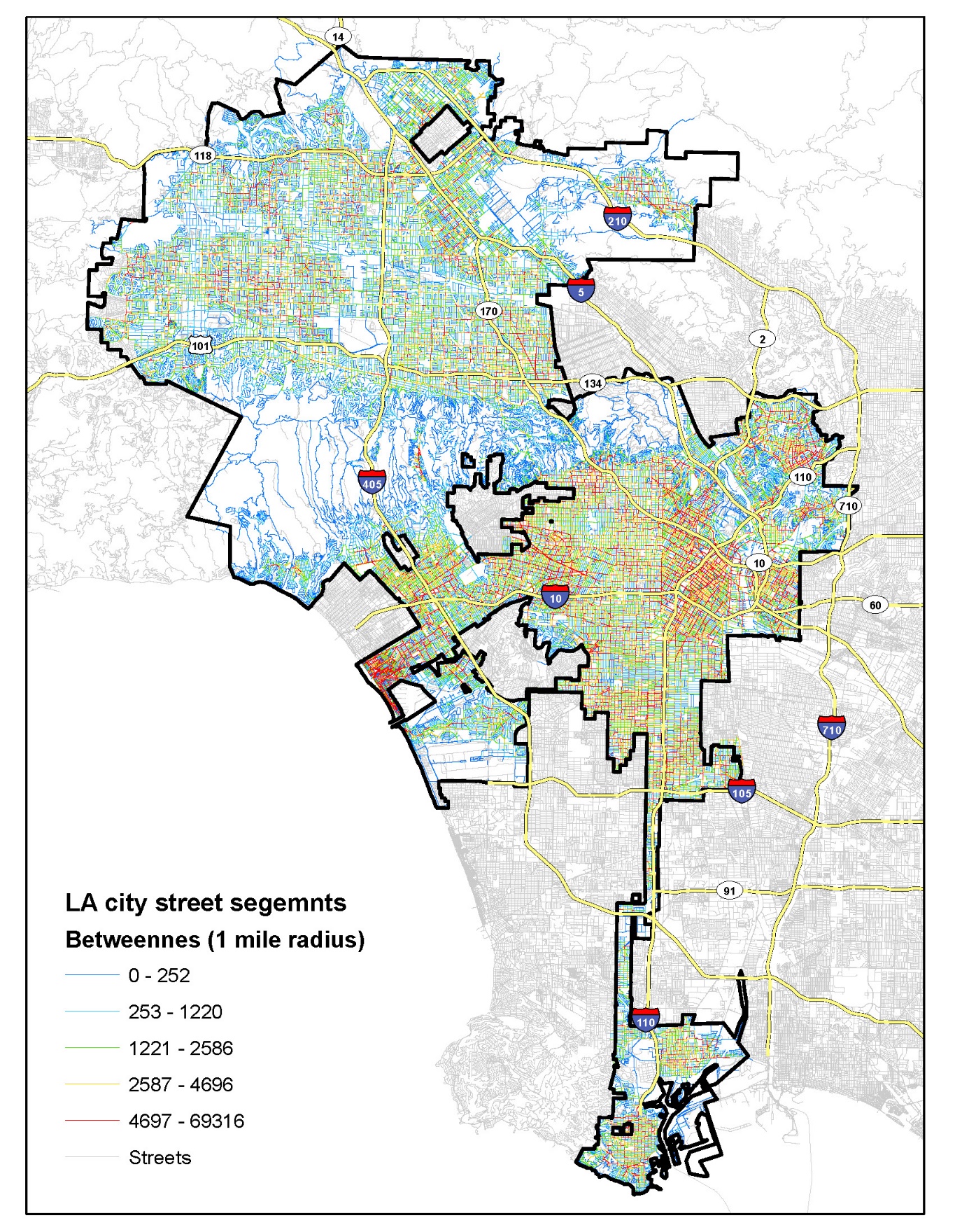
Map showing the betweenness values of street segments in Los Angeles City.